Main researcher: Piotr Skulimowski, Ph.D.
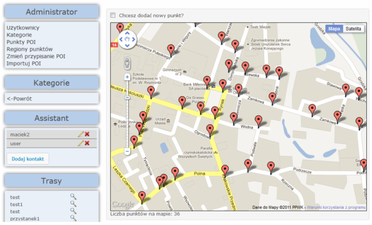
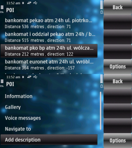
POI Explorer is a navigation system designed for mobile devices aiding the blind in unassisted walking in urban areas. Points of interest are used as landmarks for navigation. Management of databases of users, points and routes is available from a web browser. All users have their own paths which are not available to other users without permission. Thanks to this, a blind person's family members or friends can modify or plan new paths if given permission. The administrator and authorized persons can add new points of interest (also a group of POIs stored in text document), images and audio recordings to the database. Application for the blind was written for mobile phones with a Symbian and Android OS. The development of the navigation system was based on the Iterative and Incremental Development, which allows to design and write advanced applications taking into account comments from a group of target users.


